Chapter 6.1 Manage according to soil capability
Background information
The key principle is to make the best possible use of the farm’s resources by targeting areas which give the best return for effort (time and money) to maximise nutrient and water use. Sometimes this will involve building on the strengths in one area of the farm, and at others it will mean targeting weaknesses.
For example, fertiliser will give the greatest economic return if you apply it to paddocks with the most responsive pasture species (e.g., introduced desirable grass and legumes rather than natives), have good utilisation (no point growing more if you don’t use it) and responsive grazing management systems (such as rotational grazing systems that maximise growth and response through pasture recovery periods). On the other hand, there may be pressing priorities to increase groundcover and decrease erosion risk on hill country or saline areas or address small areas of tunnel erosion or salt discharge areas before they become bigger issues.
At a glance
- Identify and understand the different soil types or land classes on your property and manage them appropriately.
- Make a farm map to build a picture of your soil types and natural assets that require different management to maximise their protection and production.
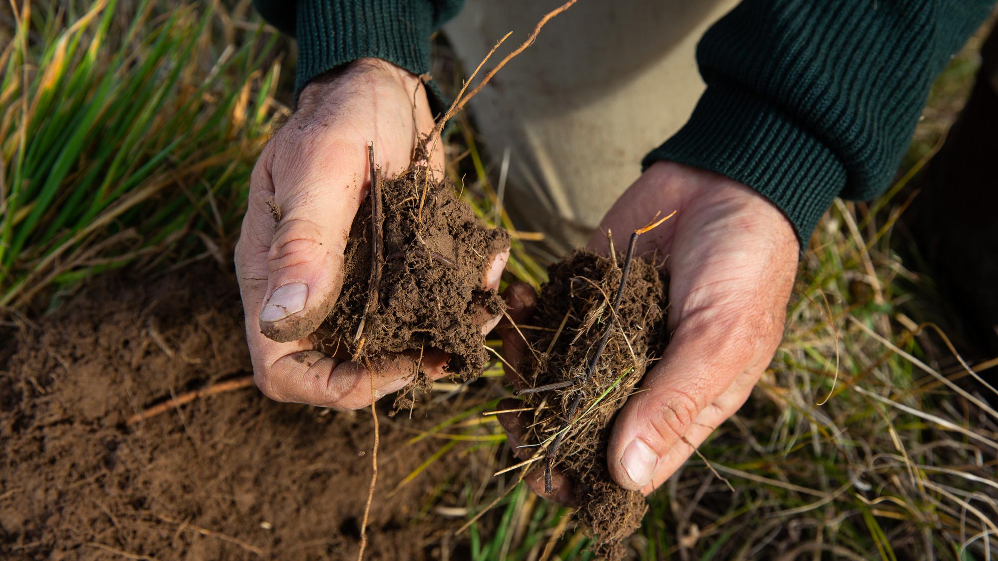
Doing the right thing in the right place at the right time means knowing where different soil types are and managing them appropriately. For example, whether or not to fertilise (if so, how much and when – see Chapter 7.1 in MMFS Module 7 Grow More Pasture); where and how to sow introduced pastures or plant crops (see chapter 7.3 in MMFS Module 7 Grow More Pasture); how to graze (crash grazing, rotational or set stocking - see Chapter 7.1 and Tool 7.5 in MMFS Module 7 Grow More Pasture); and such considerations as managing riparian zones, biodiversity, tree planting and groundcover levels (see Chapter 5.3 in MMFS Module 5 Protect Your Farm’s Natural Assets). Any difficult-to-manage areas such as drainage lines, areas prone to waterlogging, shallow soils and those where salinity, acidity or sodic dispersive soils may be a problem, need to be identified.
The most practical way of bringing all this soil and paddock information together is to construct a farm map which can be digital or hard copy (see Tool 6.1 for land classes you may consider on your map). A farm map shows existing farm features and different overlays of information, such as land classes. Plastic overlays or digital layers show land classes, which are areas that require different management because of their soil capability (e.g., soil type, depth, slope, fertility, identified problems, current use and productive potential). Often, this is simply a matter of recording existing knowledge about the farm, but it helps build a picture of your resources, allowing you to plan and prioritise actions and inputs.
Ideally, the mapping exercise will provide a picture of the current productivity and potential for each paddock or land class, enabling sheep producers to assess the possibilities and limitations that their soils pose for their farm business. Most critically, does current or anticipated land use match land capability on a paddock-by-paddock basis?
Farm maps can be supplemented with satellite images (Google Earth Pro is available for free from www.google.com/earth and contains drawing and measuring features). These can add additional insights into farm planning and align production goals with farm capability and productive potential.
Sheep producers who want to take farm mapping and planning further than the basic level outlined in Tool 6.1 may find it useful to attend a farm planning workshop or to access soil and land classification surveys. These are often run by state department of primary industries and local CMA or NRM bodies.
SIGNPOSTS
READ
Information on mapping with the view to developing grazing management plans and appropriate management strategies to make efficient use of inputs and manage environmental issues.
Information on how to identify, map and manage landscape variability for grazing management, and fertiliser and pasture improvement.
Land capability assessment is used to identify the potential for agricultural and non-agricultural land uses. It considers specific requirements of the land use and also identifies potential degradation risks.
Access to a range of information on soil health. The Soil health checklist sets-out information for the development of a soil health management plan by bringing together inventory information, knowledge resources, testing methods, monitoring methods, and decision support tools.
Improvement in soil structure, organic matter content and nutrient performance is possible through changed management practices.
Soil mapping describes the properties of soils and the landscapes in which they occur. Use these maps to evaluate land for planning, agricultural use or environmental protection.
USE
A free app that provides soil information at any location. View maps, photographs, satellite images and data about local soils and uncover your soil’s physical and chemical characteristics, including acidity (pH), soil carbon, water storage capacity, salinity and erodibility.
A free app that provides soil information at any location. View maps, photographs, satellite images and data about local soils and uncover your soil’s physical and chemical characteristics, including acidity (pH), soil carbon, water storage capacity, salinity and erodibility.
A geospatial software application that displays a virtual globe, which offers the ability to analyse and capture geographical data.
A geospatial software application that displays a virtual globe, which offers the ability to analyse and capture geographical data.
A geospatial software application that displays a virtual globe, which offers the ability to analyse and capture geographical data.
ATTEND
Offered by many catchment management authorities (CMA), regional natural resource management (NRM) bodies and state departments of primary industries. Find your local NRM body who should be able to help you locate suitable course providers.